With hundreds of miles of hiking trails weaving through one of the most spectacular canyons in the world, it’s no wonder the Grand Canyon is among the most visited national parks in the country. While there are plenty of trails that descend deep into the canyon offering full-day adventures, there are also some stunning rim trails with expansive vistas for those less-inspired to haul themselves out of the canyon. Whichever route you choose, your senses will surely be overloaded with the immense beauty and size of this swath of canyon in the southwest.
Below we outline some considerations when planning your visit to the Grand Canyon, as well as highlight some of our favorite day hiking adventures.
Best Time to Visit
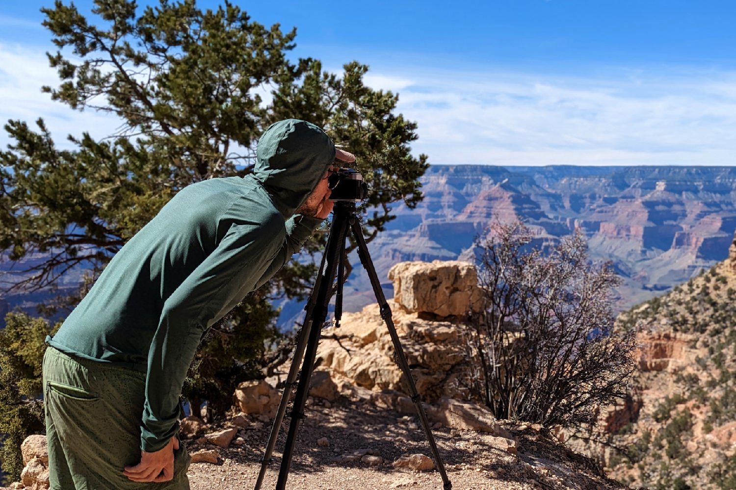
For day hikers along the rim, the only limiting factor is gear, daylight and ability to deal with snow and ice in winter (the right clothing and footwear). For hikers willing to dip their toes a bit further into the Canyon, it’s best to stick with backpacking season—which is generally March to June and mid-September to early November. Don’t even think about hiking into the Canyon in summer. It’s an undertaking that should only be considered by experienced desert and canyon hikers.
Difficulty
While even a day hike is not without its risks and challenges, the main corridor trails are very accessible and anyone with relative fitness will feel well-rewarded hiking even a couple of miles down into the canyon. But always remember: what goes down, must come up.
One of the hardest aspects of a day hiking into the Canyon is recognizing your limits, and resisting the pull of gravity and spontaneity. Legions of day hikers have been seduced into continuing on despite being short on water or gear, a reality reflected in the 250 rescues rangers record on average each year. The Canyon is an extreme environment where it’s far too easy to overestimate exertion and distance. You need to be able to accept the fact that at anytime turning around may be your best decision ever.
What Gear Do I Need?
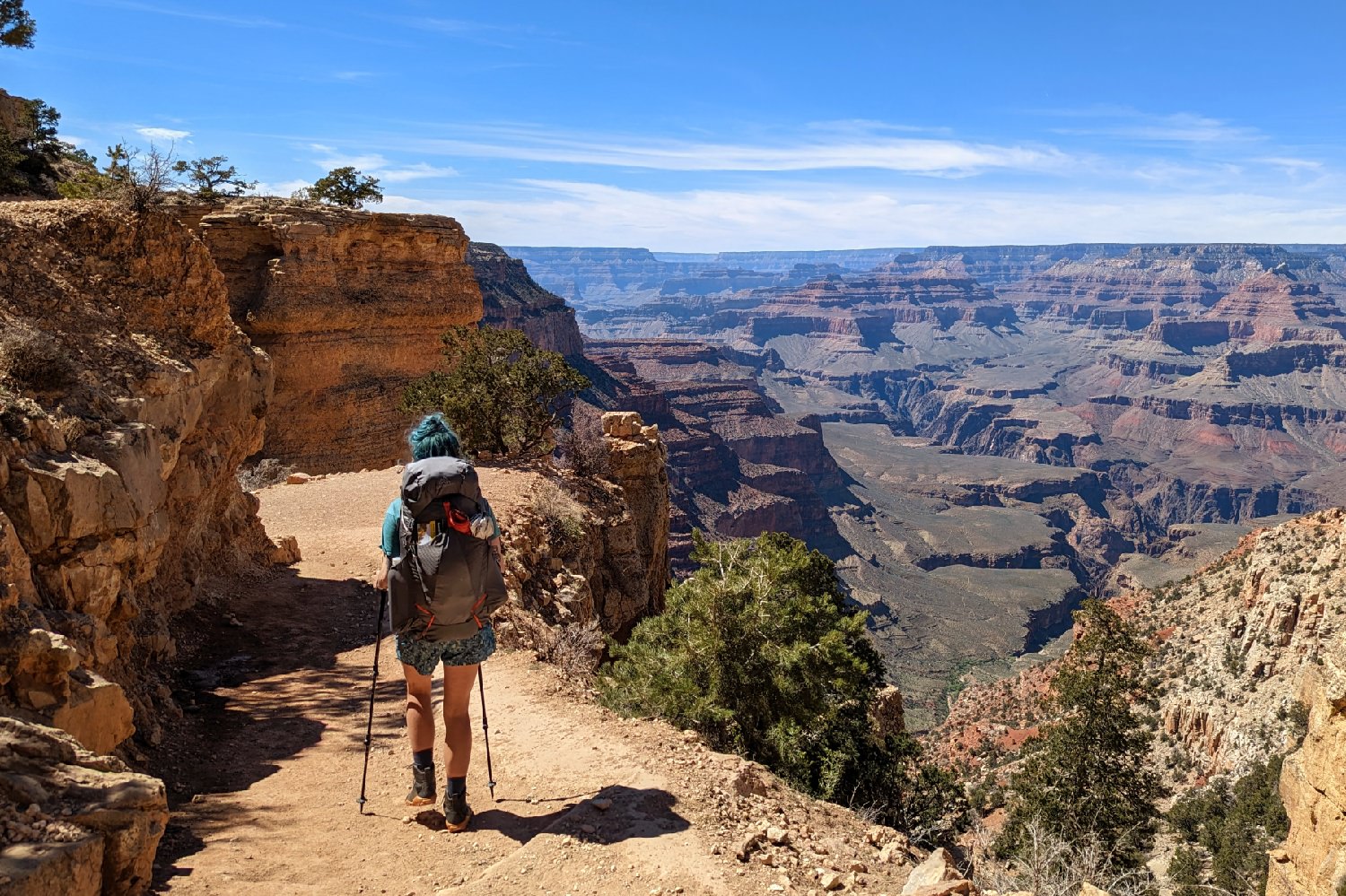
When heading out into the wilderness for the day, it’s critical that you have the right gear in your pack. In our article 10 Things You Should Bring On Every Day Hike, we outline what you need to have a safe and enjoyable day in the canyon.
In addition to this list, there may be specific gear for desert hiking such as a sun umbrella you may want to consider. For trail-tested recommendations on our favorites, check out our Best Hiking Daypacks list.

Best Day Hikes in the Grand Canyon
Day hikes at the South Rim of the Grand Canyon are fairly limited. Your best bets are the Rim Trail and the maintained corridor trails. Adventurous and experienced hikers could consider a few other options outlined below.
Interested in North Rim Trails? Most people visiting the Grand Canyon visit the South Rim, but there are some great opportunities for more solitude, a different view of the canyon, and a longer drive around Page, Arizona (and the famous Antelope Canyons) that intersects with a fascinating corner of the Navajo Nation. Two trails to consider on the North Rim include the North Kaibab Trail and the Cape Final Trail.
RIM TRAIL
Distance: Up to 26.8 miles (43km) roundtrip
Difficulty: Easy to moderate (the latter dependent on distance)
Elevation gain/loss: 6820 ft.
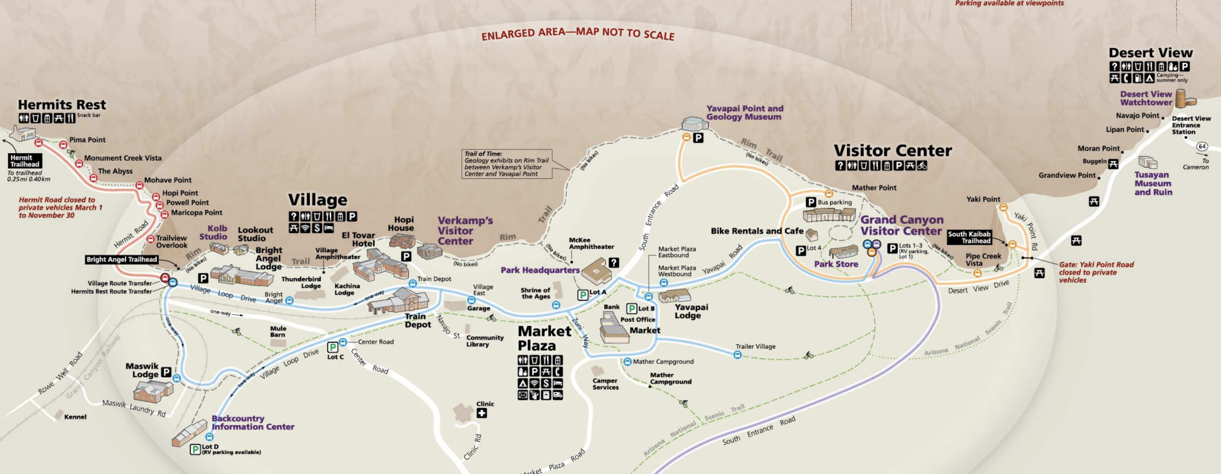
For hikers short on time or conditioning, a hike along the Rim Trail offers plenty rewards, particularly if timed with sunrise or sunset. You can jump on or off the shuttle to make your hike easy or harder.
Stretching from the South Kaibab Trailhead east of the main village to Hermits Trailhead in the west on a mostly paved trail, day hikers can easily customize the distance by using shuttle buses. Many people hit the in the main village area and head west to Hermits Rest. The entire route offers a fantastic overview of the west midsection of the Canyon. Keep in mind there is no water west of Bright Angel Lodge.
The shuttle bus for this route operates from March 1 to November 30. Buses provide transportation between the Village Route Transfer and Hermits Rest with stops at nine canyon overlooks. During the return trip, buses stop only at Hermits Rest, Pima, Mohave, and Powell Points.
BRIGHT ANGEL TRAIL
To Mile-and-a-Half Rest House, Indian Gardens, or Plateau Point
Distance: 3 to 12 miles (5-20km) roundtrip
Difficulty: easy to moderate
Elevation Gain/Loss: 6,850 ft. (2087 m ) / 3110 feet (947 m)
If you’re in really good shape and a regular hiker, the Bright Angel Trail will feel super easy heading down, though you will have to deal with the constant drip of other hikers and mule trains during peak hiking seasons. But that the reason they call Bright Angel, the Canyon’s SuperHighway. For strong day hikers, coming up won’t be much harder (in comparison to other trails in the canyon). The route begins just west of Bright Angel Lodge and offers some shade and seasonal water. Upper portions of the trail can be icy in winter or early spring (bring some micro spikes).
A hike down to the rest house is an excellent toe-dipper. It’s only a 3-mile roundtrip hike. The shelter at 1.5 miles offers shade from the nearly always blazing sun that hits this area of the Canyon and, sometimes, glimpses of condors.
Indian Garden, another 3 miles further, is truly an oasis in the desert, a beautiful riparian area shaded by cottonwood trees. You’ll find water, a ranger station, toilets and an emergency phone. There’s also year around water at Indian Gardens. If you turn around at Indian Gardens, the trip is 9 miles.
If you continue on out to Plateau Point, where you can peer into the dark abyss of the inner gorge rising above the Colorado River, the trip is an awesome 12 miles roundtrip. Avoid trying to go to Plateau Point in summer and always get an early morning start in spring and fall. It’s a hot box between Indian Gardens and Plateau Point.
SOUTH KAIBAB TRAIL
To Ooh Aah Point, Cedar Rdige, Skeleton Point
Distance: up to 6 miles (10 km) roundtrip
Difficulty: Moderate to difficult
Elevation Gain/Loss: 7260 ft. (2212 m) / 2100 ft. (640 m)
The route dives fast from the trailhead, immediately heading down a course of tight switchbacks blasted out of the cliff-face that lines it. They call this section “the drainpipe,” which helps underline why this is not a trail for inexperienced or exposure-wary hikers, especially when the crowds and mules are added in. But for conditioned hikers, it’s a fantastic way to experience the inner canyon fast.
An expansive panoramic overview gives Ooh Aah Point located .9 miles in at 6600 ft. (2011 m), its name. You can see the switchbacks of the Bright Angel as well as glimpses of the dark Vishnu Schist of the inner gorge of the Colorado. Being a ridge trail, it’s exposed to the sun the entire distance. So if you’ve got a late start, this is a good place to turn around; there’s no water available here. The view, though, is stupendous, taking in many of the central Canyon’s notable landmark buttes as well, including Isis Temple, Zoroaster Temple, Wonton’s Throne, Braham Temple and Vishnu Temple.
From Ooh Aah Point to Cedar Ridge the trail continues a winding, steep descent. Around 1.2 miles, the switchbacks segue into a gentle slope just before reaching Cedar Ridge at 1.5 miles and 6120 ft. (1865 m). Now more than a thousand feet below the rim, you’ll start to feel the Canyon’s sensual overwhelm. The viewpoint features some big rock slabs to lean on, backcountry toilets, a scattering of juniper offering a wee bit of shade and lots of persistent squirrels.
Skeleton Point is another 1.5 miles and 2,100 feet off the rim, on a trail similar to the track described above, but now arching around O’Neill Butte and requiring some tight maneuvers when the trail is busy. It than transitions into a wide flat area lined with stones and interspersed with Mormon tea (ephedra viridis), catclaw acacia and creosote bush. The view is utterly magnificent. If you were backpacking, you would be halfway to Phantom Ranch. Nevertheless, you still get an overview of the Colorado River as it scours the inner canyon 3,000 feet below.
HERMIT TRAIL
To Santa Maria Spring, Breezy Point
Distance: 4.4 to 11 miles (7-18 km) roundtrip
Difficulty: Moderate to difficult
Elevation/Loss: 6640 ft. (2024 m) / 2220 ft. (676 m)
Located 8 miles (12.8 km) west of Grand Canyon Village, the trailhead is located about 500 feet west of Hermit’s Rest. From late spring through early Fall you can reach Hermit’s Rest via the West Rim Shuttle bus. It’s a quarter mile or so walk to the trailhead. When the shuttle isn’t running you can drive directly to the trailhead or arrange for a taxi to drop you off.
This is another trail best reserved for strong, experienced hikers. As early as late March, the inner canyon temperatures can reach 100 F in the shade, by April they can hit 110 F, which is why this is a good trail to avoid from June to early September, unless you’re accustomed to dry hot weather. Carry a water filter or plenty of water as Santa Maria Spring water is untreated. In peak season, two quarts per person is a reasonable amount. In summer, you’ll need more.
To reach the spring, located 1,600 feet below the rim, you’ll navigate a steep, rocky unmaintained trail. Overall, it’s not as intimidating as South Kaibab or Grandview, though. And it offers an entirely different view of the Canyon, opening up to big broad walls rather than following a side canyon or ridge around buttes. At the spring, head to the bench by the stone shelter and take a load off your dogs before beginning the relentless ascent back to the rim or continuing on to Breezy Point at 4420 ft. (1,347 m) and 5.5 mi (8.8 km). The trail from Santa Maria Spring to Breezy Point is characterized by long traverses bordered by the west facing walls of the south rim, providing some shade midday.
GRANDVIEW TO HORSHOE MESA
Distance: 2.2 to 6 miles (4-10 km) roundtrip
Difficulty: Moderate to Difficult
Elevation/Loss: 7400 ft. (2256 m) / 2500 ft. (762 m)
Steeper with considerably more exposure than corridor trails, sections of slippery Supai sandstone and annoying cobblestone steps (built by miners back in the day) that will require shorter people to actually have to sit down to descend them, make this 6-mile hike more like an 10-miler time wise. (Insider tip: a day hike to Plateau Point and back takes less time than a day hike to Horseshoe Mesa and back). If you’re looking for a fairly quick in-the-Canyon experience, a trip to the Coconino Saddle at mile 1.1 and 6210 ft (1893 m), a scenic backpacker’s rest area with views of Coronado Butte to the east and Grapevine Canyon to the west, is an excellent option.
If you continue descending to Horseshoe Mesa, you’ll discover a wonderland of trails tracking across the arms of the mesa. Taking anyone of these trails (up to one mile each way) leads to views of the Tonto Trail, Cottonwood Creek, glimpses of the inner gorge and Soldangler Rapids. The mesa features the Canyon’s most scenic open air biffy, the remnants of Pete Berry’s old mining camp cook cabin and several closed mines littered with turquoise colored rocks. This trail is treacherous in winter when persistent ice forms on high-exposure sections. Microspikes are mandatory.
DESERT VIEW TO COMANCHE POINT
Distance: 12 miles (20 km) roundtrip
Difficulty: Moderate
Elevation/gain: 7062 ft. (2152 m) / 600 ft. (182 m)
You can see Comanche Point from the Desert View lookout (25 miles east of Grand Canyon Village) but you’ll only garner its outrageously fine views hoofing it out there. Located about 6 miles east of the tourist area, it overlooks the Colorado River about half way across the western face of the Cape Solitude Plateau. There’s a good reason it is called Cape Solitude: It’s neither well known nor well traveled, but it is marked on most Grand Canyon maps. The entire distance can be accomplished as a day hike, taking about 3 to 3.5 miles to get out to the viewpoint. It’s so worth it.
From Desert View Campground area head northeasterly along the double track road. Basic route finding is needed in a few areas: At about 2.25 miles from Desert View Campground, you’ll arrive at a junction (currently) marked with a large cairn. Head left (west) at this road split. Eventually, you reach some old fence posts (around 3.25 mile mark, which is also a good place to leave a water stash). From there, follow the drainage heading north.
In about a mile, you’ll come to the junction of a large canyon to the east that forms a saddle. Walk to the obvious edge of the canyon opening for fantastic views of the northeast section of the Canyon. Continue up a long slope that gains about 600 feet before reaching a false summit. The Comanche overlook of the Colorado comes just after a false small-summit to the southwest. Camping out there requires a permit.
Camping in the Grand Canyon
MATHER CAMPGROUND
For those looking to car camp during their visit, Mather Campground is the primary place to pitch your tent in Grand Canyon National Park. It’s located on the edge of the very busy Grand Canyon Village (a historic district, lodges, shuttle buses, visitor center, train etc.). You can make reservations up to 6 months in advance. Keep in mind that this is a tent campground. Mather Campground reservations can be made through the National Recreation Reservation Service. Call 1-877-444-6777or reserve online at https://www.recreation.gov/.
During December, January and February, the campground office is closed and no online reservations are available. Registration is first-come, first-serve using the self-pay machine located at the campground office at the entrance to the campground. Before your visit, visit the Grand Canyon NPS’s Winter Campground Bulletin and Map to ensure you are prepared for your trip.
TRAILER VILLAGE
There are no RV hook-ups at Mather Campground. For that you will need to go to the commercial campground called Trailer Village, a concessioner-operated RV park with full hook-ups. For reservations visit Delaware North Parks & Resorts website.
The NPS also operates a campground on the far east end of the park (25 miles/ 41km east of Grand Canyon Village) near the east entrance called Desert View Campground. It is not open in winter (it’s typically closed from mid-October to mid-April). It is first-come, first-served only and typically fills by noon daily. There also are NO RV hook-ups at Desert View.
Grand Canyon NPS is surrounded by and is intersected by national forest. It’s perfectly legal to camp “at-large” in the national forest outside the park. Some safety risks are involved, particularly during hunting season.
Camping must be at least a quarter mile away from Highway 64. Other restrictions apply. Contact the Tusayan Ranger District, Kaibab National Forest, P.O. Box 3088, Grand Canyon, AZ 86023 or call (928) 638-2443 for information.
You cannot camp in the Canyon’s interior without a permit. Do not make the mistake of packing emergency overnight gear and expect to get away with camping if you get too tired. Many a hiker without a permit has been escorted out of Indian Gardens and elsewhere by rangers even after dark.
Water
The Grand Canyon is designated as a “climate friendly” park. The park has made a commitment to taking a leadership role in reducing greenhouse gas emissions and educating the public about what you can do to reduce your impacts on the park by reducing plastics in the park’s waste stream, litter along trails and walkways and green house gas emissions.
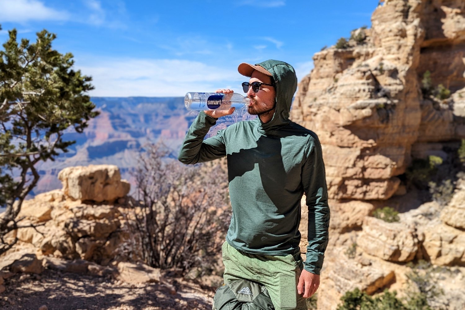
You can fill your bottle at water fountains and sinks in buildings and facilities throughout the park and you can still buy individual, single-serve water bottles at the Marketplace and various other stores.
But a much better option is to bring your own and head to one of the many filling stations throughout the park where you can get free Grand Canyon-sourced spring water originating from the park’s approved water supply located at Roaring Springs.
The following South Rim filling stations provide year-round access to water and are located at:
- Maswik Lodge (in the cafeteria)
- Hermits Rest
- Bright Angel and South Kaibab Trailheads
- Canyon Village and Desert View Marketplaces
- Yavapai Geology Museum
- Grand Canyon, Verkamp’s and Desert View Visitor Centers and
Backpacking Options
Without a doubt, the Grand Canyon is rated as one of the most popular backpacking destination in the world. It offers great off-season backpacking options when mountain destinations are socked in with snow. But competition for permits is steep, so you’ll need to plan your trip months in advance.
Backpacking in the park will require a deep dive into the park’s regulations and permitting process. You also must familiarize yourself with unique desert hiking protocols. To learn more about backpacking in the park, as well as the permitting process, visit the Backcountry NPS page.
Maps & Guidebooks
Hiking Grand Canyon National Park: A Guide to the Best Hiking Adventures on the North and South Rims (2016) – This book features descriptions and detailed maps for all of the park’s developed trails as well as tips on safety, hiking with children, access, and services.
Sky Terrain’s Grand Canyon Trail Map 5th Edition Map (2016) Kent Schulte’s water and tear resistant map is, in our opinion, the best map of the Grand Canyon. But it’s not really necessary if you are planning to do day hikes.
Best Easy Day Hikes Grand Canyon (2020) Falcon Guide by Ben Adkison is an inexpensive and very thorough day hikes guide.
Conclusion
We hope this guide helps you plan an awesome visit to one of our nation’s most spectacular national parks. You really can’t go wrong in the Grand Canyon, so pack a bag and hit the trails!
