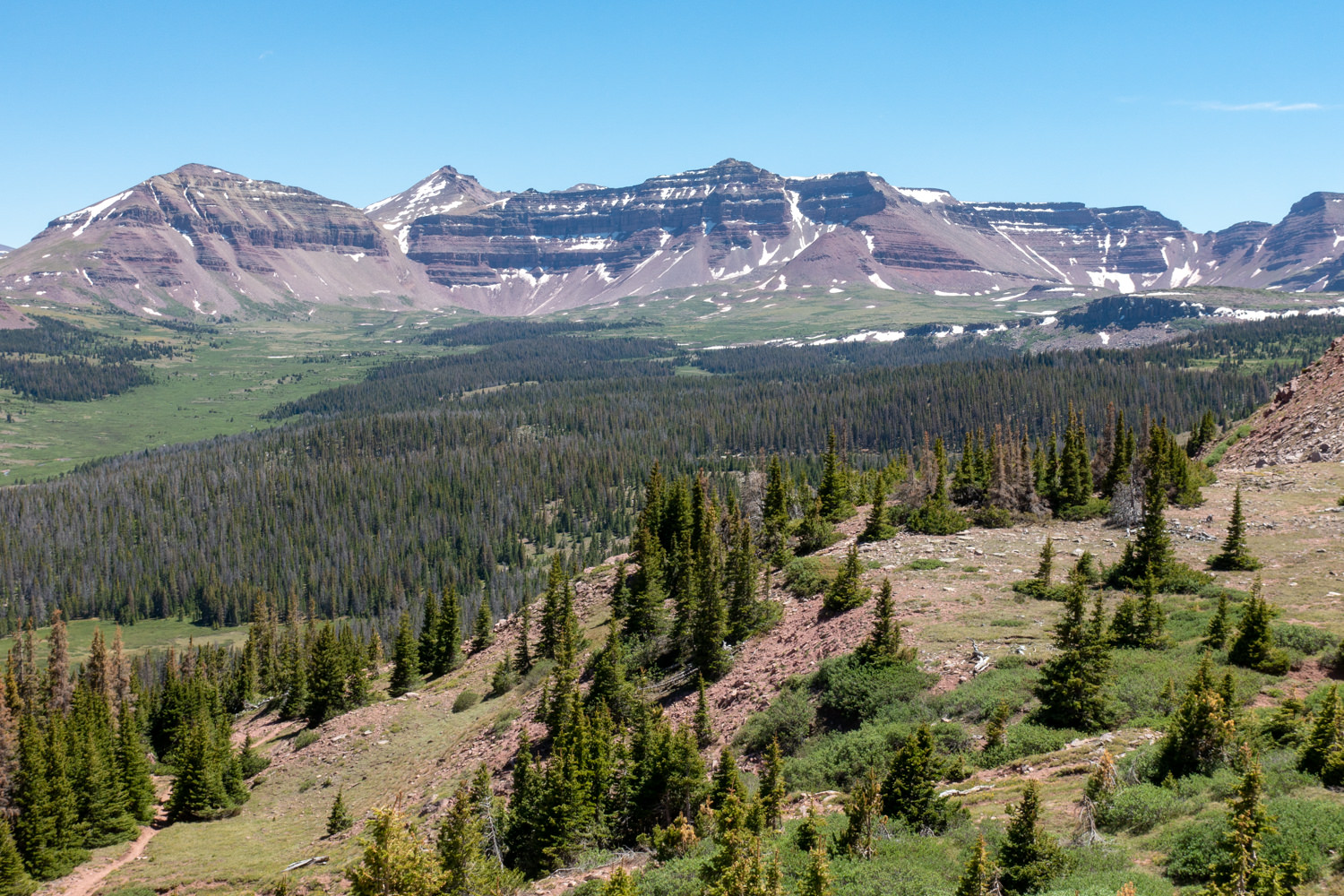
Lying approximately 100 miles east of Salt Lake City, the Uinta Mountain Range is home to the highest peaks in Utah and the only major range in the contiguous United States that orients east to west. It’s also the only mountain range in the world over 13,000 feet that doesn’t have glaciers.
Elevations throughout the Uintas range from 8,000 feet in the lower canyons to 13,528 feet atop Kings Peak – the highest point in Utah. Threaded between the peaks and ridgelines are 400 miles of streams and wide scenic basins holding some of the more than 500 small natural lakes of the Uintas.
Below its peaks, the range has a heavy forest canopy of coniferous trees. The lower elevations are similar to the Rockies with isolated meadows and islands of quaking aspen. All of these features make it ideal for backpacking.
The basins are the obvious choice, or consider make a base camp, then day-hike to the top of King’s Peak. Other options include the Red Castle Trail, Amethyst Lakes, and Henry Fork Lakes Loop or hike 104-mile lateral Highline Trail.
Quick Facts
Best Travel Time: Late June to Mid-September
Permits: No (Forest Service fees)
Difficulty: Moderate to Difficult
Peak Elevation: 13,528 ft.
Highlights
- Fascinating geology includes unique high-angle reverse faults on both north and south sides of the mountain range
- Beautiful lakes, waterfalls and marshes
- Heavy coniferous forest canopy
- Beautiful meadows and wildflowers
- Diverse wildlife , including elk, mule deer, moose, mountain goat, coyote, black bear, bighorn sheep, ptarmigan, river otter, pine marten, cougar
- Well-maintained trails
- Dogs allowed, but not recommended in some areas due to the wildlife risks
- Alpine lake fishing
Lowlights
- Snow well into July at some high elevations
- Muddy and rocky trails
- Armies of mosquitos and horseflies until fall
- Cold lakes makes swimming tempting, but challenging
- Giardia and campylobacter are prevalent in the streams and lakes
- Lots of people on the western side and close-in trailheads (day hikers)
Best Time to Hike
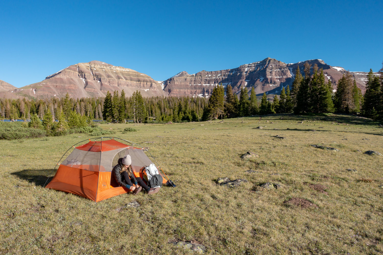
Surrounded by high desert, the Uintas normally receive about 40 inches of precipitation annually—mostly snow. If you hike during summer months above 10,000 feet, daytime highs rarely reach above 80 degrees, while night temperatures during summer range between 30-40 degrees. Afternoon thunderstorms are fairly typical. Below treeline, summer temps range from mid-70s to the mid-90s during the day with nighttime temps rarely dipping below 40.
August is the busiest month for backpacking into the high country. Some years June and October are dry and pleasant in the high mountains, but be advised that fast furious storms could arise in a hurry anytime. And lightening is a serious threat above treeline.
For local weather information below treeline, check the National Weather Service for the Uintas. For higher elevation weather, check the National Weather Service for Kings Peak.
Difficulty
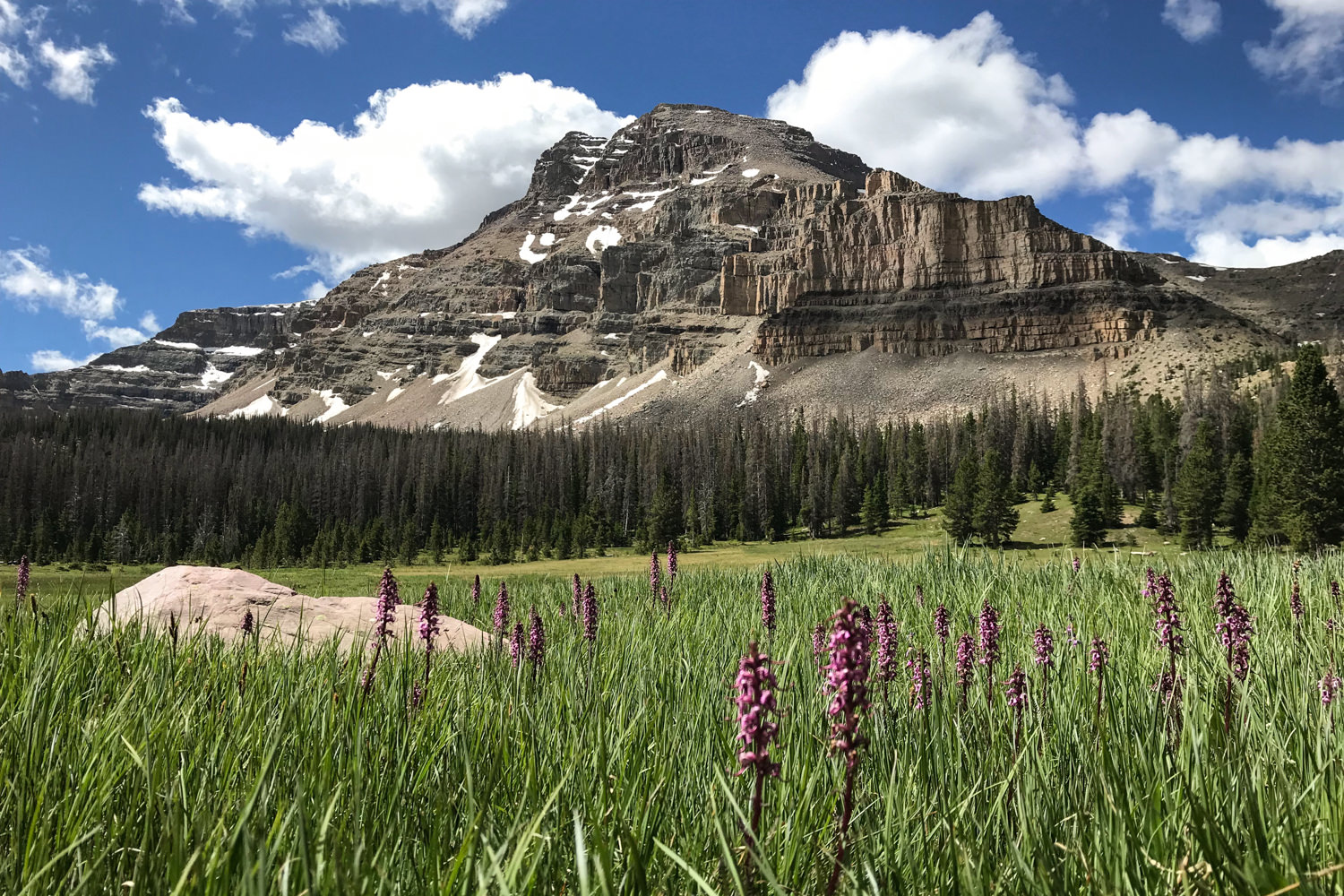
We rate most backpacking trips in this area as moderate to difficult due to many steep ascents and the elevation. As always, difficulty ratings depend on the route you choose, experience, physical fitness, pack weight, and weather conditions.
Although most routes in The Winds are not technically demanding, you should always plan thoroughly, train properly, know your limitations, brush up on your skills, and dial in your gear. Doing so will make for a more safe and enjoyable adventure.
Permits
There are 7 Ranger Districts in the Uintas that can provide detailed information on fees and camping.
Per the Forest Service: you do not need a pass to just drive through on the Mirror Lake Highway. If you plan to hike, camp or backpack, passes are available for purchase at the Kamas office, Evanston office, and the Bear River Ranger Station (open seasonally). Self-service fee tubes are also located in various areas along the highway. Annual passes are not available at the self-service fee tubes. All passes are fully transferable between the Mirror Lake Highway Recreation Corridor and the American Fork Canyon. America the Beautiful – Interagency Recreation Passes are honored. Campground fees are separate.
- 1-3 Day – $6.00
- 7-Day – $12.00
- Annual – $45.00
Passes may also be purchased at these locations.
- Samak Smokehouse
- Mirror Lake Service (Chevron)
- High Mountain Restaurant
- Kamas Foodtown (grocery store)
For more information contact the Uinta-Wasatch-Cache National Forest, Kamas office at (435) 783-4338 or the Evanston office at (307) 789-3194.
Best Backpacking Trips in the Uintas
RED CASTLE LAKES
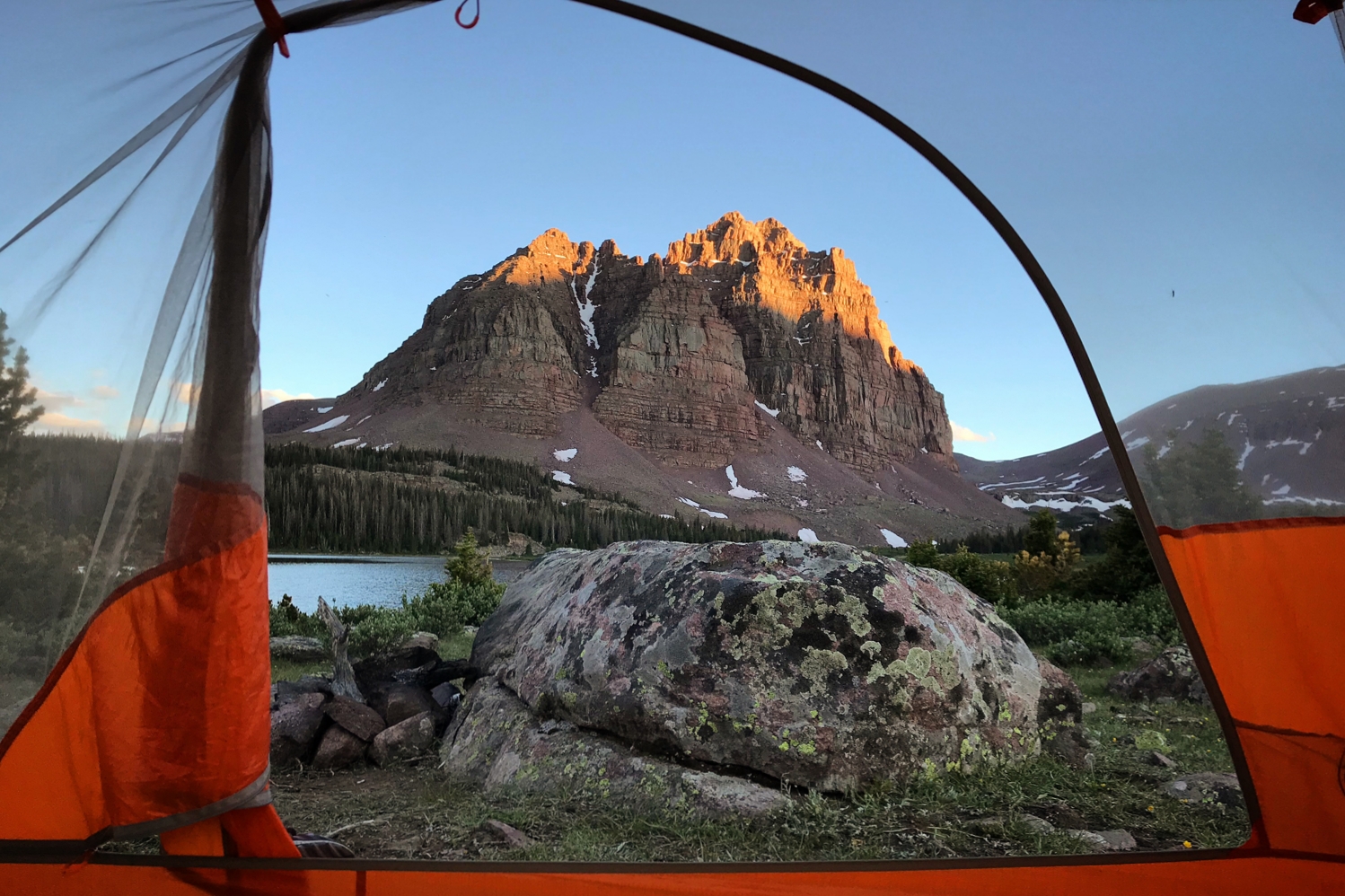
Gorgeous alpine meadows and pitch-perfect backcountry camping make this area, especially at sunset, a wonderland. It gets its name from the red castle-like peaks that stand like a fortress above the basin.
With the ability to visit three different lakes along the trail, you could easily spend three days here, though most complete the trip in two. The landscape here is unbelievably photogenic, so don’t forget your camera. The Red Castle Peak downright glows at sunset.
Check out our Guide to Backpacking to Red Castle Lakes.
AMETHYST LAKE
The High Uinta WIlderness is home to a plethora of great backpacking options and a hike to Amethyst Basin is among the very best. Moderately challenging, this hike takes you up to a high alpine lake with gorgeous campsites options.
The trail follows the Stillwater and Ostler Forks of the Bear River as it ascends about 2050 feet, passing beautiful waterfalls on the way to a stunning cirque basin. The meadow-framed basin rewards backpackers with a glistening alpine lake with a panorama of views of Ostler and Hayden Peaks.
Extra days allow time for climbing Ostler Peak or walking the entire perimeter of the lake.
Check out our Guide to Backpacking to Amethyst Lake.
HENRY’S FORK LAKE LOOP
This loop explores a gorgeous alpine mountain basin with every enticement you dream of — misty mountain meadows, tall pines, small lakes and winding streams that tie it all together. And if that weren’t enough, the whole scene is framed by a massive mountain range with Kings Peak at its head. This trip is truly a gem in the High Uintas, with an opportunity for some solitude along the way.
Check our our Guide to Backpacking Henry Forks Lake Loop.
Campsites
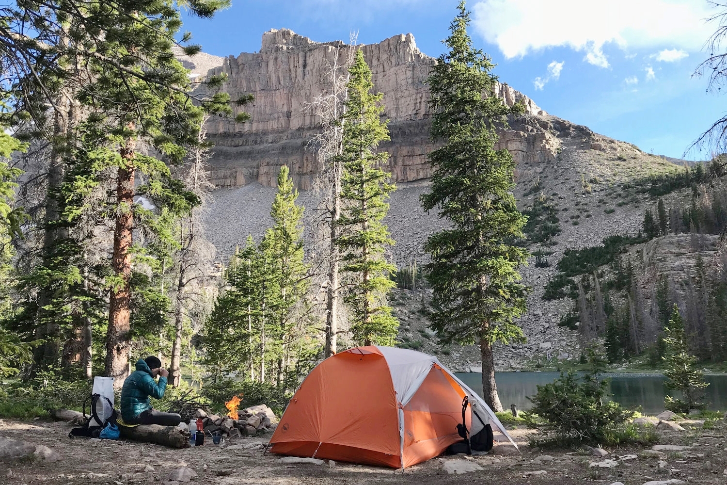
Advance reservations are essential for campgrounds along the Mirror Lake Highway, and for any campgrounds over major holiday weekends. The peak season for most campgrounds is Memorial Day through Labor Day. Most Ranger Districts keep some sites open after Labor Day, weather permitting. Be prepared to pay small self-issued fees for trailhead parking and/or camping at campgrounds that access trails.
For backcountry campsites: 7 Ranger Districts in the Uintas provide detailed information on trails, camping and backcountry regulations for each area:
- Spanish Fork Ranger District (801) 798-3571
- Evanston-Mountain View Ranger District
- Evanston Office (307)) 789-3194
- Mountain View Office (307) 789-3194
- Bear River Ranger Station (435) 642-6662
- Heber-Kamas Ranger District
- Heber Office (435) 654-0470
- Kamas Office (435) 783-4338
- Logan Ranger District (435) 755-3620
- Ogden Ranger District (801) 625-5112
- Pleasant Grove Ranger District (801) 785-3563
- Salt Lake Ranger District (801) 733-2660

Water
Water is plentiful along many of the trails in the Uintas and accessible from small streams and lakes. As always, we recommend checking in with rangers regarding your specific trail.
Though many sources look pure, Giardia and Campylobacter are present in this area so we recommend using a lightweight water filter. Check out our best water filters list for more excellent options.
Regulations & Trail Etiquette
Visit the Forest Service website to learn specific rules for the area you plan to travel in or through. In general though, the following apply:
- Hikers, horses and cyclists share some trails through the districts. Horses always have the right of way and cyclists must slow down or stop to permit the safe passage of foot traffic.
- Be aware and respectful of private land located throughout the canyons.
- The trails in the Uintas wilderness areas are constructed and maintained to minimize impact of human use.
- Several areas have campfire restrictions.
- Shortcutting switchbacks and cutting across meadows damage plant life and cause soil erosion. Always use trails provided; don’t create new ones.
- Hikers meeting horse parties on the trail should move a considerable distance off the trail and remain quiet and motionless until the horses pass, unless advised otherwise by the riders. Colorful backpacks, curious dogs, clicking trekking poles and any sudden noise or movement may cause a horse to spook, resulting in injury to horses, riders and hikers.
- Camp at least 200 feet from alpine streams and lakes to protect water quality, fragile vegetation and wildlife.
- Camp at least 100 feet from other campers and 200 feet from trails.
- Do not camp for more than three days at the same site (helps reduce campsite impacts and preserves wilderness solitude).
Critters & Food Storage
Black bears are an issue at some mid-elevation campgrounds. Check the local advisories. Never leave food or garbage around camp, and never store food in your tent. Hang it from the highest tree, or use a bear canister (not required).
Moose aren’t a food storage issue but they can be dangerous. Don’t be invasive and try to photograph them up close if you see them along the rivers or marshy areas. Don’t try to approach one. Avoid coming between a cow moose and her calf. If you see a calf, quickly access whether the mother is and get out of there. Adult moose can run as fast as 35 miles per hour. And, by the way, they’re excellent swimmers and can cover up to 6 miles in an hour for up to two hours at a time.
Bugs
Mosquitoes can be vicious in the Uintas. Black flies travel in armadas. Ticks carry Rocky Mountain Fever. Come prepared with bug hats and pack plenty of repellant.
Gear List
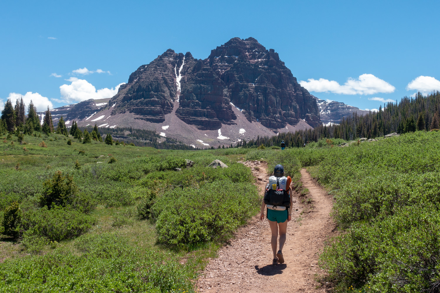
Make sure to check out our Ultimate Backpacking Checklist so you don’t forget something important.
Below you’ll find our current favorite backpacking gear. If you want to see additional options, our curated gear guides are the result of many years of extensive research and hands-on testing by our team of outdoor experts.
BACKPACK
Maps & Guidebooks
Hiking Utah’s High Uintas: A Guide to the Region’s Greatest Hikes by Brett Prettyman, an outdoors editor for the Salt Lake City Tribune. This guide includes descriptions of 99 routes throughout the backcountry wilderness of Utah’s Uinta Mountains and High Uintas Wilderness, including easy day hikes to great fishing spots, adventurous treks to remote campsites, and extended backpacking trips for intrepid wilderness travelers.
National Geographic High Uinta’s Wilderness Trails Illustrated Map This map covers the High Uintas Wilderness, as well as the Ashley and Wasatch-Cache National Forests. It features key points of interest and is printed on “Backcountry Tough” waterproof, tear-resistant paper. A full UTM grid is printed on the map to aid with GPS navigation.
60 Hikes Within 60 Miles: Salt Lake City by Greg Witt. This book includes many of the best hikes in the Western Uintas with detailed trail descriptions that range from easy strolls to challenging backpacks. Extensive key-at-a-glance information makes it easier to choose a hike based on length, difficulty, or scenery.
High Uintas Backcountry by Jeffrey Probst This trail guide travels the length of the Uintas with descriptions on 99 hikes, 600 fishable lakes, and over 400 miles of streams. Each story includes a trip planner, photo, and map. The appendix includes full maps of all areas, a campground and trailhead directory with directions. There are over 200 photos and maps.
Conclusion
We hope this guide helps you plan a fantastic backpacking trip to the Uintas!
