This content is part of our Midwest Mile series where we will be documenting our journey to prepare for the 2023 Michigan Whitetail season. For the last 3 years, we’ve had a 640 acre hunting lease in the Northern Lower Peninsula of Michigan that has seen more than a dozen deer harvests.
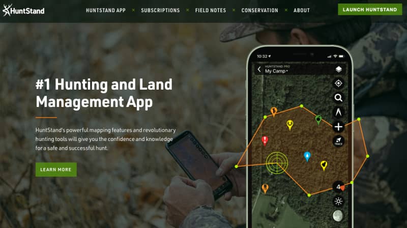
This year we are partnering with GSM Outdoors who will be providing many of the items we will use to prepare our acreage and also plan for what is sure to be another great deer season. Today I’m going to walk you through one of the newest additions to the GSM Outdoors family, HuntStand.
If you are a younger generation hunter, you have likely used one of the various land management apps on the market, we certainly have! This year will be our time using HuntStand for the digital portion of our land management strategy. Now that I have spent some serious time with HuntStand I want to dive in to some of the core features and pricing.
One of the first things you will notice about HuntStand when you are researching their membership options is the price. HuntStand offers the industry leading price at just $29.99 per year for access to an incredible number of features. What I find to be most impressive about the Pro Membership is the fact that you get nationwide land ownership maps for less than 1/3 the cost of the competition. You also get to leverage some very cool 3D mapping tools the competition does not have. Here are the key features of the Pro membership:
- Nationwide property boundaries and property ownership data.
- Detailed hunting & public land maps which will help you to determine where you can legally hunt.
- A 3D mapping tool to help you see elevation changes and more effectively plan your time in the field.
- A stand reservation system
- Unlimited offline maps
- Ad-free experience
If you are a Midwest hunter, you are going to want to jump in with both feet and get the Pro Whitetail membership. This is the membership we will be running this year and at $69.99 per year, you are still coming in under the premium offerings from the digital land management competition. With Pro Whitetail you get access to the following next level features:
- All of the HuntStand Pro features and maps
- The 7-Day whitetail activity forecast which
- Access to the annual rut map
- Satellite imagery updated monthly
- Whitetail Habitat layer which will display a heat map to indicate the most likely areas for whitetail to live.
- Detailed crop history map layer
- National aerial imagery map layer
If you aren’t ready to jump in just yet, there is great news! HuntStand offers a free version which will let you try some of the key features before you subscribe. Overall, HuntStand has delivered all of the features we have come to expect from a digital land management platform and then some.
I would highly recommend you check them out at Huntstand.com.

